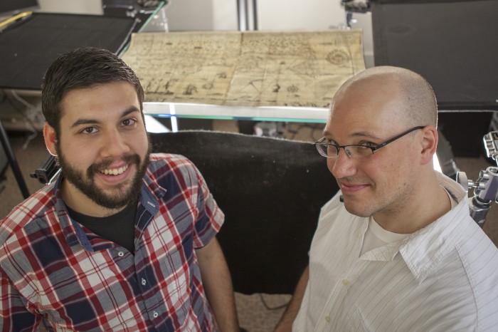
Peter Nekola (Assistant Director of the Center for the History of Cartography, Newberry Library) and I have been hard at work scanning vault items for the Newberry today!

One map of interest (featured in the photo), “Carte de la Nouvelle France,” by Samuel de Champlain, one of the first Europeans to map the St. Lawrence region which would come to be known as Canada. Champlain, who produced this map in 1612, would come to be regarded as one of the primary figures in the early Canadian history. The lake separating New York State and Vermont is named after this multi-talented cartographer.
